
Queen Creek Neighbors by Block
A block lookup begins with the parcel that contains the starting address. Nearby polygons reveal which lots touch at an edge or corner. The assessor card identifies each recorded owner and keeps the property address apart from the address used for tax mail. Deeds, plats, planning packets, and permits then add facts about the land or a dated event. None is a present household census.
The source must match the question. GIS answers “which lots are next to this one?” The assessor answers “who is the owner of record?” A plat or declaration can define a subdivision or association. Town files can show a project, notice, or code case tied to an address. The resulting block view is useful only when each fact keeps its source label.
| Source | What It Shows About a Block | Access |
|---|---|---|
| County GIS | Parcel polygons, adjoining lots, and mapped layers | Free viewer; search and click parcels |
| Assessor cards | Owner, separate situs and mailing addresses, value, deed and subdivision | Free, one parcel at a time or in results |
| County recorder | Deeds, plats, HOA declarations, and subdivision records | Free index; image and copy options vary |
| Planning notice packet | Owner and HOA addressees inside a notice radius on one date | Public packet; snapshot only |
| Permit and code history | Project or issue tied to an address | Nexus history; details by records request |
| Voter information | Restricted statutory registration fields | Self-lookup or authorized file, not block browsing |
A recorded owner can live elsewhere. Matching mailing and situs addresses is consistent with owner occupancy, but it is not proof. A different mailing address says only where the tax contact receives mail. It does not identify who lives on the parcel.
Locate Queen Creek Neighbors Correctly
Queen Creek crosses Maricopa and Pinal counties. Its postal place, incorporated town, water and fire areas, school districts, and municipal planning area are not the same shape. A Queen Creek mailing line therefore does not select the correct parcel system by itself. Encanterra illustrates the rule: it joined the town but stayed in Pinal County.
Use the town’s boundary guidance first, then open the matching assessor map. A block that straddles a planning or service line may still remain wholly within one county. County controls deeds, parcel cards, taxes, and GIS. Queen Creek controls its own permits, planning files, and code records. Keeping those roles apart prevents a postal assumption from turning into a false claim about nearby owners.
Note: Confirm incorporation and county separately before using a Queen Creek postal address as the center of a block search.
Map Queen Creek Neighbor Parcels
The adjacent-parcel method uses visible boundaries rather than an assumed radius. Search the address or APN in the Maricopa County Assessor GIS or the Pinal County GIS parcel map. Keep the display at parcel scale. Roads, washes, common tracts, and split parcels can make the true set of nearby lots different from what an aerial view suggests.
- Locate the subject address and save its APN before comparing any nearby lot.
- Click every polygon that touches an edge or corner, recording each APN in map order.
- Open the linked assessor card and copy the recorded owner, situs, mailing address, and subdivision.
- Compare deed or plat references only after confirming that each card belongs to the visible polygon.
- Label owners as owners. Do not convert a mailing match into a claim about every occupant.
Maricopa’s spatial service can support distance queries, but no public buffer button was verified in the user interface. Pinal toolbar controls were also not stable enough to document. A manual edge-and-corner walk is slower but does not promise a tool the portal may not expose. For a full named road instead of the immediate block, use the Queen Creek street directory.
Queen Creek Neighbor Project History
Queen Creek Development Nexus can search public project and permit history. Record number is the best exact key. Address, parcel, and project criteria may appear by module. Anonymous search is allowed, but account access does not expose every file to every user.
The image below is sourced from the official Development Nexus portal.
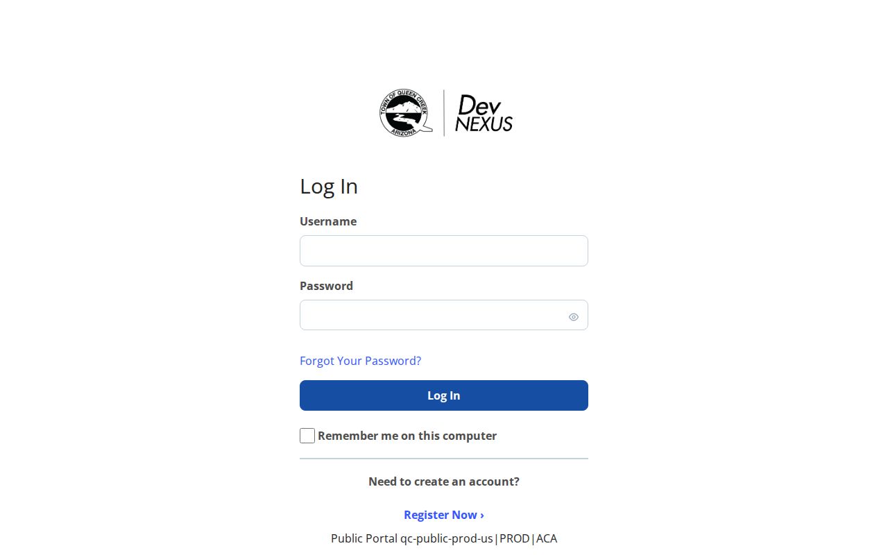
The portal provides a dated project layer for a block. Detailed plans, correction reports, comments, and processing status are restricted to verified associated users. Other requesters use GovQA. A permit applicant or contractor may have no personal tie to the address, so project names should never be treated as a nearby household roster.
Queen Creek Neighbor Associations
Town planning material verifies several local association names and contact addressees. These are useful search keys for declarations, amendments, plats, and dated notice packets. They are not public household directories. The Queen Creek HOA information page gathers representative contacts and hosts meetings, but it does not publish member rolls.
Orchard Ranchettes
Verified in Queen Creek planning material as a community association name.
Pecans
Pecans Homeowners Association appears in town records and can key a recorder search.
Remington Heights
Town material identifies Remington Heights HOA and HOA West.
Rittenhouse Ranch
Rittenhouse Ranch HOA appears as an actual local entity or contact addressee.
Search the exact association or subdivision name as a Business Name in the county recorder, then confirm its reach with the plat and parcel number. CC&Rs define recorded covenants, conditions, and restrictions. They may establish governance or a boundary, but they do not reveal all current members.
Queen Creek Block Notice Snapshots
Planning packets can contain mailed-owner and HOA notice lists within a required radius. That makes them an overlooked snapshot of a Queen Creek block near a proposed action. The list reflects recorder or assessor contacts used when the packet was made. It does not remain current, and it does not establish who occupied each property.
Pair the packet date with the assessor’s valuation year and the recorder’s deed date. If names conflict, report the dates rather than selecting a winner. A later sale can explain the change. An association addressee may be a manager or representative far from the community. The narrow value of the list is civic context: who received notice for that one planning event.
Note: A Queen Creek notice-radius list is a dated mailing record, not a permanent neighbor or association directory.
Queen Creek Neighbors and Voter Data
The Arizona Voter Information Portal is an identity-gated self-service tool. It requires county, last name, date of birth, house number, and an identification method. It cannot be browsed as an anonymous list of registered voters on a Queen Creek block.
Arizona law allows specified voter-file fields for authorized political, campaign, election, redistricting, party, or other statutory uses. The file can include residence and mailing information, registration dates, and participation history, but never a person’s ballot choices. Its use and distribution are restricted. Protected voter records withhold sensitive location facts. The practical result is simple: voter participation is not a lawful public neighbor browser.
Queen Creek Neighbor Source Differences
Official records and commercial neighbor tools serve different roles. County and town systems disclose a defined public record with a named custodian and date. Commercial compilations merge public and private inputs, can lag corrections, and may confuse people with similar names. Neither type can reliably name every person at an address.
| Source Type | Best Use | Main Limit |
|---|---|---|
| Assessor and GIS | Mapped parcel and recorded owner | Ownership is not occupancy |
| Recorder and planning files | Deeds, plats, declarations, dated notices | Parties and contacts are not household lists |
| Commercial compilation | Possible lead for later official verification | May be stale, merged, incomplete, or wrong |
Use a compilation only as an unverified clue. Return to the custodian before relying on a parcel owner, deed party, association boundary, or permit. Official records can also contain errors, but they provide the right office for a correction.
Queen Creek Block Records Fallback
When an online block search stops, route the request to the office that created the record. Assessor and GIS questions stay with the correct county. Recorded plats, declarations, and deeds go to the Maricopa or Pinal Recorder. Project history, planning packets, permit detail, and code material go to Queen Creek. A focused request should name the address, APN, subdivision, record type, and date range.
The Town’s public records page separates General Records from Fire/Medical and Police requests. Use General Records for ordinary planning, permit, or code files. Digital inspection and emailed copies are generally free. Broad demands take more time because dates, keywords, volume, complexity, and the need for clarification affect the response.
County record gaps have physical routes. Maricopa Recorder serves counter users at 301 W. Jefferson Street, Suite 200, Phoenix, and answers 602-506-3535. Pinal’s office at 31 N. Pinal Street, Building E, Florence, its 520-509-3555 phone line, PO Box 848 mail route, and microfilm matter before the online cutoff. The Queen Creek Library and San Tan Historical Society can add newspapers, maps, photographs, and local context, but neither replaces the legal custodian. Keeping the fallback chain source-specific protects both accuracy and private data.
Protect Queen Creek Neighbors
Some block facts remain private. Assessor records do not index renters or other household members. No public Queen Creek utility-customer, congregation, club, block-watch, or HOA member roster was verified. Motor-vehicle address data is restricted. A code case describes an address and issue, not necessarily a person who lives there.
Arizona’s Address Confidentiality Program provides a substitute address for eligible victims of domestic violence, sexual offenses, or stalking. Secured voter records and county recorder, assessor, or treasurer protections can also shield an address. A blank or suppressed field may therefore reflect a valid safeguard, not a broken search.
Lawful use. Queen Creek neighbor records support civic awareness, property research, and reconnecting. Never use them to watch, stalk, harass, intimidate, or expose a protected person.
Stop when a protection appears. Do not reconstruct the hidden address from another record or republish it. For an ordinary error, ask the assessor, recorder, clerk, or town department that owns the record to explain its correction process.